
Walk a Washington Township Street
For a current Washington Township street directory search, begin with the property’s situs address, the physical location of the parcel. The township’s assessor service can connect that location to a parcel number and an owner field. The county map then provides the Tax ID, community, parcel shape, and legal description. Recorded documents take the next step because the Register of Deeds uses parties and legal descriptions rather than a public list of households. This sequence keeps an address search tied to the record that actually supports each fact.
A street-by-street review is a parcel exercise. It can identify recorded ownership and map relationships among lots, but it should not turn a row of records into a claim about everyone at an address. The Michigan Voter Information Center is also not a street browser. It checks a known individual’s registration information with identifying inputs, so it cannot fill the household gap in a Washington Township street directory.
- Search the address, name, or parcel number in the Washington Township BSA property service. Save the displayed situs address, current owner, parcel reference, and any visible sale or assessment details.
- Enter the address in the Macomb County Parcel Explorer. Use Identify on the selected polygon and record the Tax ID, Community, and legal panel.
- Use the owner as a grantee in the Register of Deeds index. Compare the latest acquisition document with the parcel’s legal description before treating it as the same property.
- For an older address, ask Romeo Community Archives whether an applicable reverse-address directory volume is available. An address entry can be useful context, not proof of title.
- Stop when a record becomes protected, nonpublic, or does not clearly match the parcel. A current name in one record does not establish every household connection.
Washington Township BSA Street Search
The BSA account for Charter Township of Washington is the modern front door for a street directory search. Its quick search offers Address, Name, and Parcel Number modes. The service selector also points to assessing, property-sale, current-tax, special-assessment, utility, and building-record routes. A live result can expose an owner, reference number, address, values, sale details, exemptions, and building characteristics, but the township’s static page does not promise one fixed result layout or a complete historical range. Record the year and fields shown in the live result.
| BSA field | Input | Use on a street search | Known limit |
|---|---|---|---|
| Address | Text search | Find a full or partial situs address | Exact matching guidance is not published |
| Name | Text search | Check an owner or entity name | Try spelling variations |
| Parcel Number | Text search | Return to a saved municipal parcel reference | Use the live portal’s format |
| Sale date and price | Range fields | Narrow property-sale results | Optional filters |
| Grantor and grantee | Text fields | Refine the property-sale route | Not a substitute for the deed index |
| Neighborhood | Quick find or selector | Group properties by BSA-defined label | Different from the GIS Community field |
Macomb’s real-estate legal-citation guidance shows the recorded-document framework behind a parcel trail.
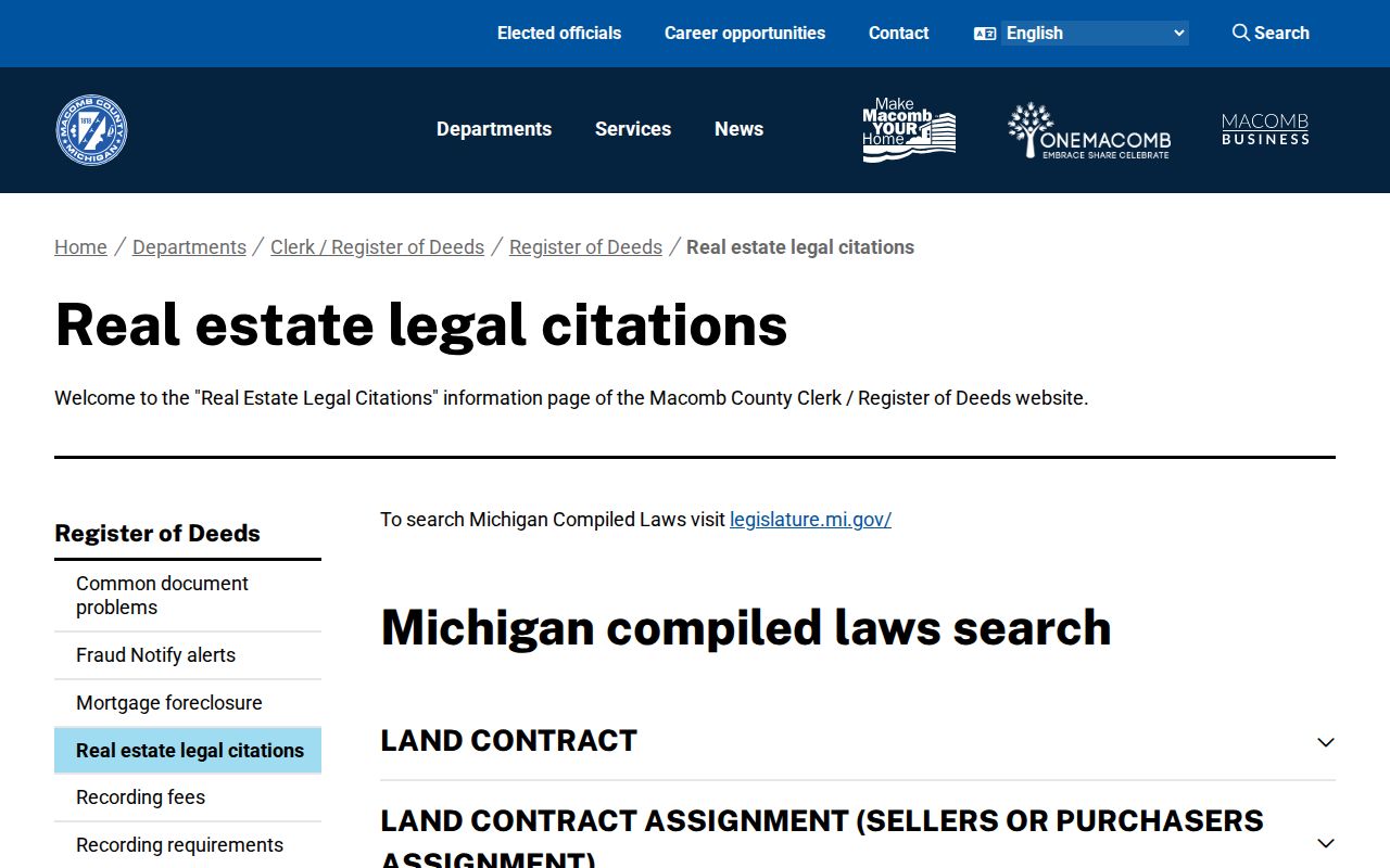
The image is a reminder that a property address is only one way into the record. The legal description and the names indexed on a document provide the stronger bridge when a Washington Township street changes form across records.
Washington Township Street Parcel Map
The Parcel Explorer supplies the geographic half of a Washington Township street directory. Search All Known Address uses the E911 address database and can be narrowed by Community. After an address point is selected, Identify opens a Selected Tax Parcels panel. Its documented fields include Tax ID, Property Address, Community, legal subdivision or lot information, and links for aerial view and local assessment data. The same panel offers a delinquent-tax action, which is a parcel lead rather than proof about a current household.
| Search All Known Address | Full or partial E911 address search |
|---|---|
| Community | Use Washington Township to reduce place-name confusion |
| Property Name | Optional property-name route for a named complex or park |
| Identify | Click a parcel boundary to open Selected Tax Parcels |
| Buffer radius | Feet-based map aid for viewing nearby parcels; Clear resets it |
Macomb County’s Register of Deeds identifies the recorded classes that follow the map step, including deeds, mortgages, liens, and plats.
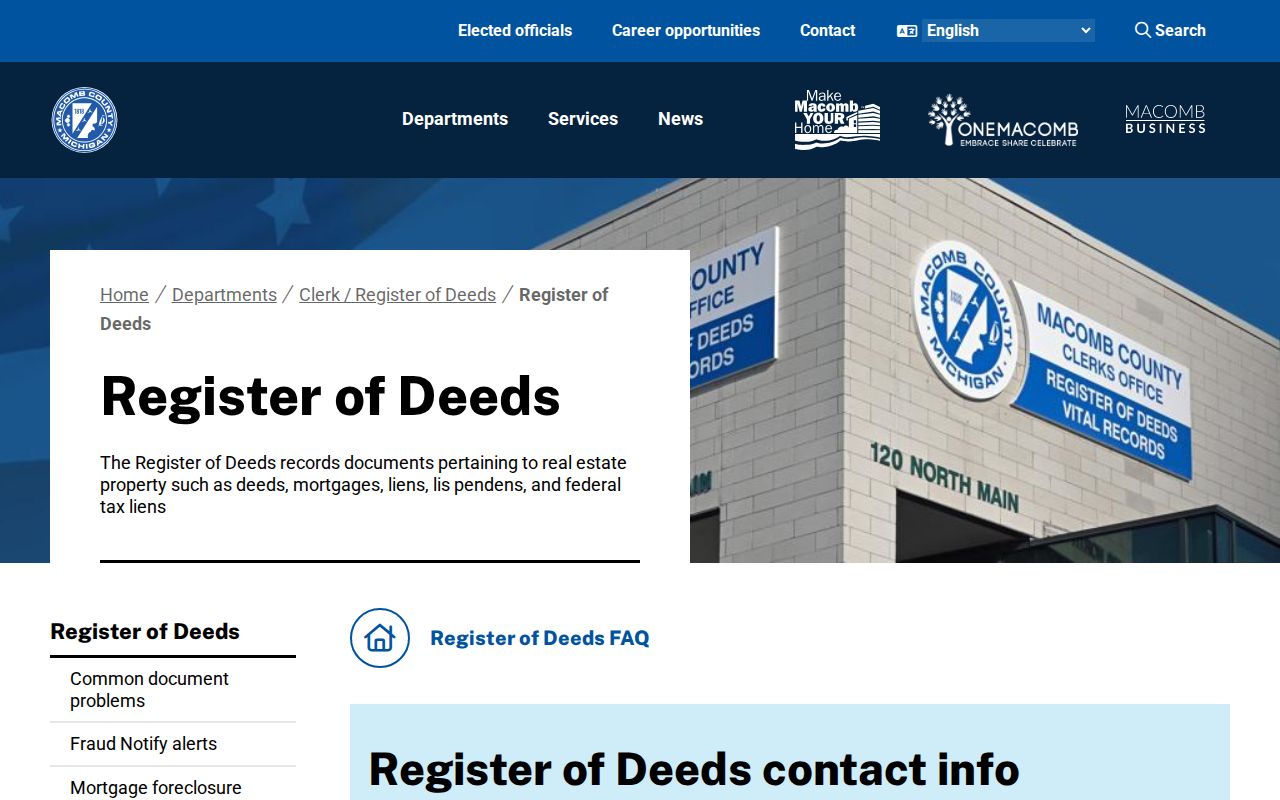
The recorder source belongs after the map identifies the correct parcel. It is designed for recorded real-estate instruments, not for a public roll of people on a Washington Township street.
Washington Township E911 Street Quirk
Macomb GIS gives a useful local search tip: omit road suffixes such as RD, DR, AVE, BLVD, and CT when using E911 autocomplete. A search that fails with a full mailing-style string may return when the suffix is removed, the Community is set to Washington Township, and the address-point layer is selected. This is especially helpful around Van Dyke, mile roads, Romeo Plank, and subdivision roads where a short map string can differ from a typed postal address.
Use the map’s Community field as a geographic check, not as a substitute for the BSA neighborhood filter. Washington Township is a charter township in Macomb County, and a Washington postal label is not an incorporated-city boundary. The parcel’s legal panel is the better tie-breaker when a street directory search reaches overlapping postal or nearby-place references.
Note: A successful E911 autocomplete result identifies an address point, not a complete resident list for that point.
Washington Township Street Record Coverage
Different Washington Township address records answer different questions. The assessor record can connect a parcel to an owner field and tax-mailing information. GIS maps the parcel and its legal geography. The deed index tracks recorded transactions. A building file may document a project at an address if the requested record is public. Historical directories can add an address-to-name lead for the period their volume covers. Keeping those layers separate prevents an owner, a mailing contact, and an earlier directory entry from being collapsed into one claim.
| Address-keyed source | What it can show | Keeper | Access path |
|---|---|---|---|
| BSA assessing and sale tools | Parcel, situs, owner field, mailing address, values, sale clues | Charter Township of Washington | Public BSA search; displayed fields vary |
| Parcel Explorer | Address point, parcel polygon, Tax ID, Community, legal summary | Macomb County GIS | Public map viewer |
| Recorded real-estate index | Grantor, grantee, instrument, date, legal description, placement | Macomb County Register of Deeds | Online, counter, or mail request |
| Land File or tax route | Taxpayer name/address and tax-related parcel clues | Macomb County | Land File assistance and record-specific request |
| Building record | Public project, applicant, contractor, or inspection details when released | Washington Township | BSA link or defined records request |
| Historical directory | Address-to-name lead where the volume covers the area | Romeo Community Archives | Catalog, appointment, and archivist inquiry |
- Parcel
- A defined unit of land identified for assessment and mapping.
- Situs address
- The physical location of the parcel or building, separate from a tax-mailing address.
- Legal description
- The subdivision, lot, liber/page, or other land description used to match records when street text shifts.
- Criss-cross directory
- An address-first directory arrangement. Confirm that a requested volume actually includes this arrangement before relying on it.
Washington Township Street Deed Chain
The Register of Deeds is the title-record step in a Washington Township street directory search. Start with the BSA owner and the parcel’s legal description. Search that owner as grantee, inspect the acquisition instrument, then use the named grantor as a grantee in an earlier period. At every turn, compare the legal description, parcel or situs, recording date, and the relationship shown by the instrument. A mortgage or discharge belongs to the encumbrance history and does not itself identify a new owner.
The official search-options page gives a complete fallback chain. Basic online index searching is free and lists a $6 document purchase. Advanced access supports address, legal-description, parcel-ID, and name searching. Public terminals at 120 N Main Street in Mount Clemens provide free index viewing. Staff searches cost $5 and copies cost $1 per page; the office directs appointments to that address and does not perform large-volume searches. A mail request can use the official form or a written request with the document type, parties, approximate date, property address or legal description, a stamped self-addressed envelope, and a check. The office lists 586-469-7953 and registerofdeeds@macombgov.org. The online cutoff year is not located in the official source, so move to the counter or mail route rather than inventing an endpoint.
The Register of Deeds FAQ presents the county’s local search and copy channels.
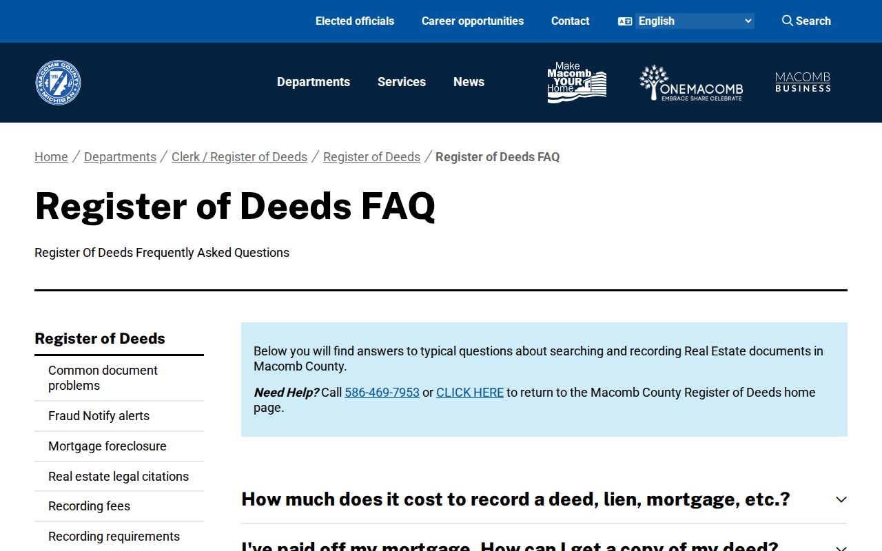
The captured FAQ reinforces why the counter and mail channels matter. A portal result can begin the Washington Township street trail, but it cannot establish that every earlier document is available online.
Washington Township Street Access Choices
A street directory search can move through three official record environments. BSA is a municipal parcel, tax, and sale service. GIS is the map and E911 bridge to parcel geography. The deed index is the recorded-title source keyed chiefly to parties and legal descriptions. None is a complete household list, and the differences matter when a current mailing address, mapped location, or historical transfer does not match another source.
Macomb’s property-fraud alert entry point shows the name-based notification service offered through Tyler.
An alert can help a named owner learn that a document was recorded. It does not verify title and does not replace a parcel-by-parcel review of the supporting instrument.
Washington Township Street History Sources
For an earlier Washington Township address, use the deed description to stabilize the property before looking for names in a directory or newspaper. Romeo Community Archives catalogs a resource titled “Romeo Directories (includes Armada, and Washington Twp.).” The catalog confirms the Washington Township scope but does not expose the individual publishers or year run. Ask the archivist for a shelf inventory, an applicable address arrangement, and appointment rules instead of assigning unsupported dates to the collection.
Romeo-area newspapers offer another dated layer. The archive’s 2025 digital inventory lists separate titles and gaps, including Romeo Investigator for 1851, Romeo Argus selections, Romeo Hydrant for 1890, Romeo Press for 1937–39, and Romeo Observer for 1866–2015. A newspaper item can provide context for a property or household, but it is not title proof. The historical collections are described in more depth on the Washington Township city directory page.
Washington Township Street Files
Building, planning, zoning, and public-works records can be useful address-side evidence when a defined existing file is public. Washington’s BSA landing page links Building Department Record Search, permit applications, payments, and inspections, but the static source does not expose the live fields, retention period, or full historical coverage. Use the address and a rough project period when asking the township clerk or records custodian whether a record exists.
Michigan FOIA is the fallback for existing nonexempt government records. It does not require the township to assemble a new street roster or infer private data from separate files. Ask for the particular permit, zoning case, site plan, or index, then expect protected information to be handled under the office’s records process.
Note: Permit and parcel records can document a property event without proving current residence at the address.
Washington Township Street Continuity
Old and current street strings do not always line up. A parcel may be split or recombined, an earlier source may use a rural route, and a nearby postal city can appear in an address. No official Washington Township street-renumbering, street-renaming, annexation, or ZIP-realignment year was located in the reviewed sources. That gap calls for a slower comparison of legal descriptions, plats, map coordinates, and neighboring parcels, not a guessed conversion.
Macomb County Heritage Alliance lists plat maps for 1875, 1895, and 1916. Those maps can help place a lot or subdivision in a particular landscape. Pair them with the deed legal description and the GIS parcel panel before connecting a historical road reference to a Washington Township street directory result.
Washington Township Street Privacy Limits
A Washington Township street directory cannot show every person connected to an address. A tax mailing address can belong to an owner, agent, lender, or another location. A directory entry can be historical. Utility customer information, delivery records, and motor-vehicle address data are not public street-search material. Michigan’s Address Confidentiality Program and protected election records also require records custodians to handle certain addresses differently.